
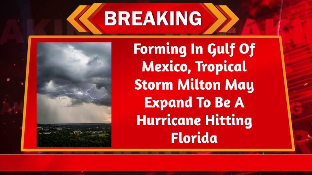
Florida: A system of storms that was developing in the Gulf of Mexico on Saturday intensified into Tropical Storm Milton, and forecasters issued a warning that it might become a hurricane and make landfall on Florida’s west coast later in the week. With a maximum sustained wind speed of 45 mph (75 kph) and a north-northeast direction of 4 mph (6 kph), Tropical Storm Milton was located approximately 365 miles (585 kilometers) west-northwest of Progreso, Mexico, and approximately 855 miles (1,375 kilometers) west-southwest of Tampa, Florida, according to the National Hurricane Center in Miami early on Sunday.

Fatal Impacts For Florida West Coast
The center stated that while Milton is moving slowly, it is predicted to strengthen quickly and that there is a growing risk of potentially fatal impacts for areas of the Florida west coast. Ahead of the storm’s probable landfall, Florida Governor Ron DeSantis issued a state of emergency in 35 counties. DeSantis requested that the Florida Division of Emergency Management and the Florida Department of Transportation coordinate all personnel and resources available to support local municipalities in accelerating debris removal efforts, given that many of those counties are still recovering from Hurricane Helene.
Intensification Of Storm
The Florida Peninsula, Florida Keys, Yucatan Peninsula in Mexico, and the northwest Bahamas should keep an eye on the system’s movements, according to the hurricane center, even if there were no coastal watches or warnings in place. It is anticipated that the storm will intensify and pose a threat to life in certain areas of Florida. As a result, hurricane and storm-surge watches will probably be in place starting on Sunday. That day, a lot of rain is predicted in various parts of the state, posing a risk of flash, urban, and area floods in addition to some river flooding.
With maximum sustained winds of 115 mph (185 kph) late Saturday night, Hurricane Kirk was still classified as a Category 4 major hurricane and was located approximately 1,345 miles (2,165 kilometers) west-southwest of the Azores, according to the center. The US East Coast, the Bahamas, the Leeward Islands, Bermuda, the Greater Antilles, and the Bahamas were all being impacted by the storm’s massive seas, which were creating potentially fatal surf and rip current conditions. It was anticipated that the surges will travel north on Sunday along the Atlantic coasts of the US and Canada, and then on Monday to the Azores.
Hurricane Leslie
Forecasters reported late Saturday that Hurricane Leslie was traveling northwest over the open Atlantic without endangering land. With winds reaching a maximum sustained speed of 80 mph (130 kph), the storm was situated approximately 855 miles (1,375 kilometers) west of the southernmost Cabo Verde Islands. There were no watches or warnings in place for the coast. The storms churned as rescuers in the US Southeast looked for those unaccounted for after Hurricane Helene arrived last week, leaving behind a trail of death and severe devastation.